Search This Blog

Showing posts with label Nova Scotia. Show all posts

Saturday, April 20, 2019

1 of 17: A Motorcycle Tour of the Canadian Maritimes, Summer 2018 Northern Virginia to Nova Scotia, PEI, the Gaspé Peninsula and Back

Introduction and Index.


It’s taken months to finish documenting this 16-day, nearly 5000-mile motorcycle tour. The combination of me, Jeff, and the wonders of digital photography, yielded thousands of photos to sort, covering the magnificent and the mundane that we encountered. But, it was a joy to relive the trip while doing so. It was a fabulous experience!


Packed and ready to go!


We rode two-up on a BMW R1200GSA (hence, small luggage). I’m the pillion, so Jeff was solely responsible for our safe passage, which he carried out admirably, as always. Much of our trip was arranged around attempts to capture photos suggested by two motorcycle “grand tours” and visits to locations designated by geocachers as worth the visit. If you’re not into long-distance motorcycling, motorcycle “grand tours,” or geocaching these may seem like odd guideposts, but both the grand tours and geocaching tend to take you to interesting spots. Sometimes they are the same places that tourists following the “Top 10” will also visit, but often they cover local favorites or things that are simply interesting.

The Team Strange Melting Pot grand tour took us to statues of immigrants (specific ones designated by the tour organizers), towns with the name of a country (which were up to us to identify), and a search for the Liberty Bell replicas.  In the 1950s, fifty-five replicas of the famous bell were cast and then distributed around the country. Most are available to be visited.  Some have the crack painted on them, which I find rather funny. As you will read below, over the course of 2018, Jeff and I visited many of the ones on the east coast (some of them twice, for reasons explained below).
The Tour of Honor focuses primarily on war memorials. We did not have many of these on our trip, but we did have a few.

Geocaching was at our selection.  For those of you not familiar with this game, geocaches are hidden all over the world, and the information needed to find them is available on the web at Geocaching.com.  The number of “likes” indicates the ones that are particularly appreciated, either because of the location, the cleverness of the “hide,” or some other characteristic. With careful reading, geocaching can provide you with a curated tour of the favorite spots of locals in the areas you are visiting, some of which are well-known and many of which are not. Sometimes it's just a fun way to find your way around a place you don't know or to add an interesting challenge or fun memory to your day (see Part 11). Geocaching can also take you to places like lampposts in the parking lots of shopping malls. Hence, “careful reading” is important if you are using Geocaching.com to plan a tour of sights worth seeing.

In addition to the above, we visited places that appealed to one or both of us for various reasons, like arts and crafts destinations (for me), leading to a delightful hodge-podge of sights and very full days!

Home of artist Barry Colpitts


The logs are chronological, tracing the complete path of our journey, in 17 parts:

One: Introduction and Index
Two: 6.22.18.  Friday. Springfield, Virginia to Portsmouth, New Hampshire (via Maine), United States.
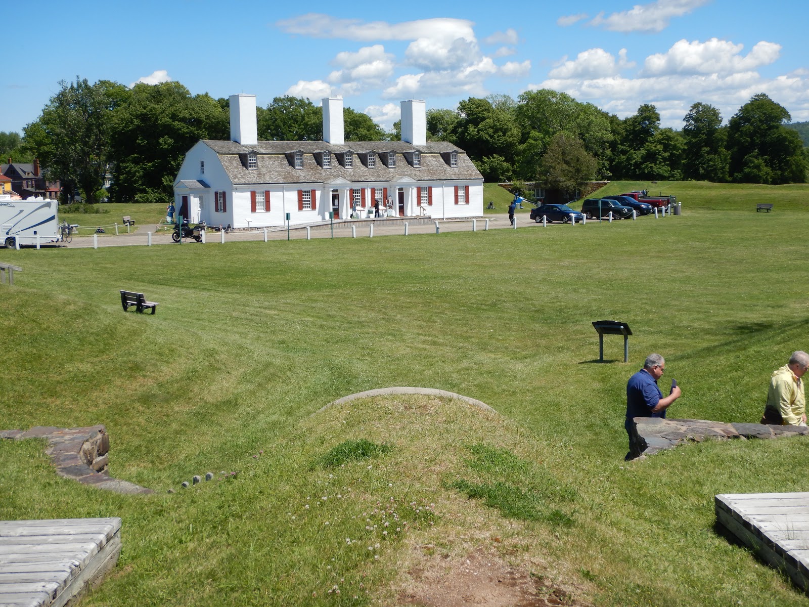
Three: 6.23.18. Saturday. Portsmouth, New Hampshire to Steuben, Maine.
Four: 6.24.18. Sunday. Stueben, Maine.
Five: 6.25.18. Monday. Stueben, Maine, U.S. to St. John, New Brunswick, Canada.
Six: 6.26.18.  Tuesday. St. John, New Brunswick to West Publico, Nova Scotia.
Seven: 6.27.18. Wednesday. West Publico, Nova Scotia to Halifax, Nova Scotia.
Eight: 6.28.18. Thursday.  Halifax, Nova Scotia to St. Louisbourg, Nova Scotia.
Nine: 6.29.18. Friday.  Louisbourg to Cheticamp, Nova Scotia (Cape Breton Island).
Ten: 6.30.18. Saturday.  Cheticamp, Nova Scotia to Georgetown, Prince Edward Island via the Cabot Trail.
Eleven: 7.1.18. Sunday. Georgetown to Tignish, Prince Edward Island. (Geocaching!)
Twelve: 7.2.18. Monday. Tignish, Prince Edward Island to Parrsboro, New Brunswick. (includes the Bottle House)
Thirteen: 7.3.18. Tuesday. Parrsboro, New Brunswick to Perce’s Rock, Quebec.
Fourteen: 7.4.18. Wednesday.  Percé’s Rock, Quebec to Revière-du-Loup, Quebec; Gaspe peninsula.
Fifteen: 7.5.18. Thursday. Rivière-du-Loup, Québec to Wilton, Maine, US. (Includes Parc de la Frontière and Four Corners)
Sixteen: 7.6.18. Friday. Wilton, Maine to Bennington, Vermont.
Seventeen: 7.7.18. Saturday. Bennington, Vermont to Springfield, Virginia (home).


6 of 17: A Motorcycle Tour of the Canadian Maritimes, Summer 2018 Northern Virginia to Nova Scotia, PEI, the Gaspé Peninsula and Back

6.26.18.  Tuesday. St. John, New Brunswick to West Publico, Nova Scotia.

Breakfast at the hotel began at 6:30 a.m. I by-passed the yellow sponge “omelets” with the eerie orange filling (ubiquitous on “free breakfast included” buffets at many chains) and took just an English muffin. There were a number of other bikers and early risers, many headed for the ferry to Digby as we were.

Motorcycles boarded first, down on the deck with the 18 wheelers which is a part of a ferry I hadn’t seen before. It was much dirtier and more industrial than the car deck, one level up. Jeff used his new cuffs to help tie down the motorcycle, we locked our helmets, and then gathered up some stuff to take upstairs for the 2.5-hour ferry ride. Once we left the parking deck, the ferry was pretty plush. We settled into a comfy spot in the indoor lounge on the ferry and I got a breakfast of real eggs, that was pretty good, and Jeff got the bacon that came with my eggs. I bought a Christmas ornament in the gift shop. Capt’n Wilson roamed the ship a bit while I wrote notes and read. We both went out to an upper deck as we pulled close to shore before descending to ready the bike for departure.


Leaving the ferry, we stopped for a “Welcome to Nova Scotia” sign photo-op and geocache and also snapped pictures of the salmon-farm cages floating just off shore. Interesting to see how much fish farming there is!


Fish farm
The town of Digby is a bustling port. It’s a bit too industrial to qualify as charming, but seemed like a nice, friendly spot. We stopped at the old and very lovely Loyalist Cemetery for a geocache, winding through a neighborhood of shingled houses and shady trees.

Loyalist Cemetery, Digby

Digby
Then, we headed east past Annapolis Royal and looped west to Port Royal, where the Degus party (new spelling!) settled after leaving St. Croix Island. This was apparently the settlement described in Wadsworth’s Evangeline. (Depending on the filters used, Spotwalla may not show our actual path. We crossed the causeway from Annapolis Royal to Granville Ferry twice; we did not leap from Digby to Port Royal across the water as Spotwalla may suggest.) We encountered here, and elsewhere, a substantial amount of road repair.


Paths that weave throughout Nova Scotia are helpfully identified by the tourist bureau as “trails.” Thus, we started our Nova Scotia trip with part of the Evangeline Trail but later would be on the Lighthouse Trail, Coastal Trail, etc.

Leaving Port Royal, we stopped at the Annapolis Tidal Generating Station! Yes! Most people would not be excited about this stop, but Jeff knows me, and put it on the route because he knew I’d like it. (I move in such energy-nerdy social circles that I recently spoke with another woman who also visited here and also love it!) The Bay of Fundy has the highest tides of anywhere in the world, peaking at around 50 feet (16 meters).The electric generator at the Annapolis station uses relatively conventional pumped-hydro technology, but it “pumps” water to the upper reservoir by capturing the incoming tide and then releases it when the outgoing tide is low enough to create a sufficient head to turn the turbine. Thus, it only operates twice a day. Unfortunately, photos of hydro projects are pretty boring, since all you usually see is the surface!

Tidal Generating Station
The display also explained, however, the more innovative tidal power project that is further up the bay, where the tides are stronger. There, a turbine placed in the bay turns with the tidal current using the tide’s kinetic energy. The first attempt to install this power project in 2009 failed because the turbine wasn’t strong enough to withstand the force of the tides and broke shortly after being installed. After all, no one had built a turbine for such a purpose previously. (Jeff was deeply disappointed in the engineers for not assessing the problem correctly.) The current turbine was out for repair at the time of our visit, but has otherwise been working since 2016. I heard recently, however, that the developer went bankrupt. Sigh. Innovation is difficult.

Back in Port Annapolis, next up was a shop called Catfish Moon for some crafts shopping (for me). Santa-on-a-Moose will join the other Santas on display in my home at Christmas. Jeff spent the time prowling the waterfront and learning about the town's history.


Fort Anne, consisting of a lovely white building, bunkers embedded in manicured hillsides, and lawns overlooking the water, made another lovely stop in Annapolis Royal, plus our first time sitting in the red chairs. These pairs of bright red (Maple Leaf red) Adirondack chairs have been placed by the tourist bureau at particularly scenic spots. This overlook of the water was very deserving! Also loved watching the Fort Anne maintenance crew mow the steep hills around the fort with a mower lowered down the slope on a tether and controlled remotely. The town was cute too, with lots of sculptures, interesting looking houses, many of a Victorian style, and lots of activity. Definitely a place that would nice to spend some time in.

Fort Anne


Our next stop was supposed to be a lighthouse. As we approached the turnoff, our attention was seized by a wooden frame church, a quite large one, with four turrets surrounding its steeple, giving it a rather Disney-esque air. It was bordering a tidy little college campus with lots of solar panels, which we passed through after making our turn. Continuing down the road we came to our destination.


My attention first turned to the three wind turbines lazily spinning huge shadows across the ground. We then examined a small shrine set up on an embankment and then walked further down the road to what was supposed to have been a lighthouse. However, apparently the tower had blown down, leaving only a somewhat unattractive house, looking like a 1970’s beach house that had been abandon for lack of charm. We were looking for a geocache, so I ventured down a poorly mown track through a thicket of brush, grass and wildflowers, only to find myself emerging back onto the road near the shrine. A further check of the compass showed that the spot was actually on the far side of the shrine and easily accessible from the road without my brush rambling. C'est la vie! Jeff and I always find the hard way in and the easy way out when geocaching!

Going past the shrine led to the fourth feature on this little point of land – a fenced enclosure in which a “river” of brown water churned around a large oval track punctuated in two places by large brushy wheels that turned with the water flow. Jeff likened the flowing stream to a “lazy river” water park feature, which was probably the most charming compliment ever paid this sewage treatment facility.

After finding our geocache under the spreading branches of a large tree, we continued onward.
We worked our way along the western coast of Nova Scotia, with a lovely stop in Yarmouth. A memorial with a fountain splashing through a ship’s wheel stood in front of a vine covered memorial wall, with a colorful quilt mosaic around the corner. We watched musicians appearing to arrive almost by coincidence and carrying their instruments up a grand staircase to the park above. As the music started, a young woman was powerfully leaping up, and then down, the staircase from a squatting position. No need to pay gym fees when the local park has the perfect work-out equipment! What a great spot!


After Yarmouth, we continued down the coast, eventually reaching West Publico and our resting stop for the evening, the Red Coach Inn. Although we arrived too late for dinner, our hostess kindly sold us drinks to take back to the room. (We had purposefully stopped elsewhere since our preview of the menu suggested a vegetarian (me) and a non-fish eater (Jeff) would have very limited options in the Red Coach Inn dining room.) After an evening walk (plus some successful and unsuccessful geocaching and quite a few photos), we returned for a comfortable evening at the motel. It was nice to have the bike parked right outside. It was particularly handy the next morning when I found my hand washed items hadn’t dried completely. (Traveling with a tiny bag means you wear the same stuff over and over, and I prefer washing it out when I can.) I was able to drape the items over the bike in the morning while we breakfasted in the inn’s restaurant (nice breakfast!) and the bright morning sun made sure they were ready to go when we were.


7 of 17: A Motorcycle Tour of the Canadian Maritimes, Summer 2018 Northern Virginia to Nova Scotia, PEI, the Gaspé Peninsula and Back

6.27.18. Wednesday. West Publico, Nova Scotia to Halifax, Nova Scotia.

Leaving West Publico, we continued following the coast as it meandered along peninsulas sticking long fingers out into the ocean. Wind turbines were followed by the Shag Harbor UFO landing site, graced by one of the large lobster sculptures (this one in a boot) that are scattered throughout Nova Scotia.

Red Coach Inn, West Publico, NS


Next came Fort St. Louis (near Barrington); a stop in Lockeport for lunch from the general store, eaten under a lovely tree shading a few chairs in a pocket-park; and a visit to the the seacoast vista that appears on the Canadian 50 dollar bill.

Fort St. Louis

Lunch in Lockeport

The view on the 50 dollar bill


Lockeport

We followed that with a stop at Hunt’s Point Wharf for a geocache planted on a fabulous sea wall built of enormous boulders and more pictures of lobster traps and boat; the picturesque Fort Point Light House; Fort Pointe Marie de Grace; and the ferry from Le Have. Le Have is a quaint wide spot in the road with a couple of craft shops, an outfitters, and a restaurant. It would be a nice lunch stop, if we were the kind of people that stopped to eat lunch.

Hunt's Point Wharf

Hunt's Point Wharf

Fort Point Light House
Fort Pointe Marie de Grace
The short ferry ride took us across the inlet. We stopped at a historic and magnificent building, the former Lunenburg Academy, under renovation, and passed many other well-preserved wooden buildings in this historic town.  After more picturesque towns and beautiful coast line, we worked our way out to a park where we found a stone commemorating Canada’s first geocache, placed June 28, 2000. And then we went and found the geocache (just one day shy of its 18th "birthday").

Lunenburg Academy

One of many historic buildings in Lunenburg

Commemorating the 1st geocache in Canada

The first geocache in Canada -- still intact (you'd never just "happen" upon this spot!)

The memorial for SwissAir Flight 111, that crashed in 1998 near Bayswater, was stark, somber, and stunning. The stone memorial is mounted on the windswept rocks overlooking the bay, with bits of vegetation clinging and clambering over the low spots and crevices. I learned later that my friend Beth’s niece was among the victims.

Swiss Air Flight 111 Memorial

View from the Flight 111 Memorial of Peggy's Cove

Peggy’s Cove seems like it was plucked from a Scandinavian seacoast and dropped here. It was uniquely beautiful, even among other stunning villages on this trip. Its colorful buildings are perched high on a rocky point at the mouth of the bay and boats bob at the docks. The lighthouse was beautifully illuminated against the late afternoon sun. Just breath-taking!

Peggy's Cove Lighthouse


Peggy's Cove

We arrived in Halifax later than I had hoped. I had charted a very nice walking tour that we had to cut down due to the late hour, including, regrettably, eliminating the library since we were past its 9 p.m. closing. We walked past it, but I had hoped to enter. Friend Stephanie had taken a tour and said it was really interesting. Plus, it was a geocache location! But we enjoyed the sights-by-night nonetheless.

The Citadel, Halifax

Halifax by night


Wandered around sightseeing and geocaching until after 10 p.m. by which time our options for food had narrowed. We stopped at one place that I had scoped out as veggie friendly (for me) and with an appropriate beer selection (for Jeff), but it had stopped serving. The waiter suggested Durty Nellie’s which we had passed earlier so we headed back. The bar menu was still available, so we ate high fat foods and drank beer. Spent the night in Halifax at the Waverly Inn.

The Waverly Inn was an interesting, rambling old place that had free parking. Our first-floor room in the rear was quite small and had no view at all (a fence mostly), but it was quiet. Across the street was a blues club, which other reviewers said was noisy. Not a problem for us. We enjoyed the very easy walking access to downtown and having breakfast (continental, hard boiled eggs, not memorable but adequate) on the premises. Area is a bit gritty, but the hotel was nice and so convenient and relatively cheap for the location that we would certainly stay here again.